
1
/
of
1
Books From Sharon
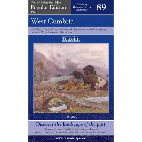
West Cumbria 1925 Popular Edition Map
West Cumbria 1925 Popular Edition Map
Regular price
£4.99
Regular price
£6.99
Sale price
£4.99
Unit price
/
per
Shipping calculated at checkout.
Couldn't load pickup availability
West Cumbria (includes Cleator Moor, Cockermouth, Egremont, Keswick, Maryport, Seascale, Whitehaven and Workington)
Britain’s inter-war landscape re-projected and enlarged to match the present-day Ordnance Survey Landrangers Key features include: - Same map name and number as the equivalent Ordnance Survey Landranger - Digitally enhanced cartography - British National Grid for ease of reference - Locator map featuring modern-day settlements - Sheet indicator showing Popular Edition maps used - Robust laminated cover with contemporary illustration - A brief history and overview of Ordnance Survey’s Popular Edition mapping Scale: 1:50,000
- (Author) --
- (Illustrated) No
- (Illustrator) --
- (Age range) --
- (Series) Cassini Historical Maps
- (ISBN) 9781847362148
- (Publisher) Cassini
- (Printing date) 2007
- (Format) Folded map
- (Dust jacket) --
- (Weight) 100g
- (Size) 23 x 13.5 cm
- (No. of pages) 1
- (RRP) £6.99
- (Additional Note) None