
Books From Sharon
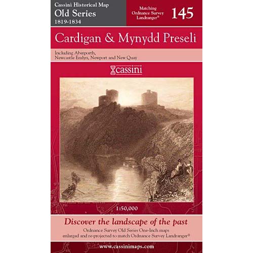
Cardigan & Mynydd Preseli Old Series Map 1819-1834
Cardigan & Mynydd Preseli Old Series Map 1819-1834
Couldn't load pickup availability
Cardigan & Mynydd Preseli (includes Aberporth, Newcastle Emlyn, Newport and New Quay)
Britain's 19th-century landscape re-projected and enlarged to match the present-day Ordnance Survey Landrangers® These maps are based on Britain's first national mapping project, Ordnance Survey's One-Inch ('Old Series') maps which were first published between 1805 and 1874. They have all been carefully scanned, digitally re-projected and enlarged to match the present-day Ordnance Survey Landranger® series. Each Cassini Old Series map is directly comparable with the corresponding Ordnance Survey Landranger® and uses the same sheet number and grid references, so enabling the past and the present to be compared with ease and accuracy.
- (Author) --
- (Illustrated) No
- (Illustrator) --
- (Age range) --
- (Series) Cassini Historical Maps
- (ISBN) 9781847360328
- (Publisher) Cassini
- (Printing date) 2006
- (Format) Folded map
- (Dust jacket) --
- (Weight) 100g
- (Size) 23 x 13.5 cm
- (No. of pages) 1
- (RRP) £6.49
- (Additional Note) None